
Gladstone Neighbors by Parcel
A block search has several distinct layers. The GIS viewer supplies parcel geometry, roads, buildings, subdivisions, districts, and orthophoto. The Assessor supplies assessed owner, situs, mailing address, and legal-description fields for a selected parcel. The Recorder adds the transfer history behind an owner's name. City neighborhood pages provide named community organizations, while historical directories can place people at an address in an earlier year. Each layer should be kept separate so a parcel fact does not become a claim about every Gladstone neighbor.
| Source | What it shows about a block | Access |
|---|---|---|
| Clay Maps & GIS | Parcel geometry, roads, building footprints, subdivisions, districts, and map context | Public map; its disclaimer says it is reference data, not the official record |
| Clay County Assessor | Assessed owner, situs, mailing address, parcel identifiers, and legal description | Public parcel search; assessment relationship is not proof of occupancy |
| Clay County Recorder | Transfers, grantors, grantees, and legal descriptions | iCounty account or public terminal; name indexed rather than address indexed |
| Gladstone neighborhood pages | Named Neighborhood Home Organizations | Public list; it does not establish a household roster |
| Historical directories and phone books | Earlier address associations and community names | MGC and Kansas City library collections, often in person |
An owner name and a parcel boundary are useful starting facts. They do not establish that the owner is present today, that a renter is known, or that other people at the address are public. Date the view, record the parcel identifier, and stop at the scope of the document.
Map a Gladstone Neighbor Block
The adjacent-parcel method uses the map first and names second. Find the target address in the Clay County viewer, turn on the layers needed for orientation, and follow the block outward one selected parcel at a time. The research documented Current Year Parcels, lot and subdivision layers, building footprints, roads, districts, Measure, coordinates, Advance Search, and polygon selection. The Assessor navigation also displayed a "Find adjoining property" buffer link, but its interface was not inspected, so it is only a lead rather than a documented workflow.
- Search the target address or parcel in Clay Maps & GIS, then turn on Current Year Parcels, building footprints, lot or subdivision, and road labels as needed.
- Pan along the immediate block and click each adjoining parcel, or use polygon selection to collect the Prop ID, Parcel ID, situs, and map description.
- Enter each identifier in the Assessor search to read the assessed owner, mailing address, legal description, and sale reference.
- When a property-history question remains, search the recorded owner name through iCounty and compare the deed's parties and legal description.
The flow is address to GIS parcel to assessor detail to owner name to recorded instrument. It avoids treating the map as a household list. For a longer named-street chain, use the Gladstone By Street directory, which follows address records beyond the immediate block.
Note: The GIS screen is a public service reference and can change, so use the Recorder or Assessor record for a source that needs formal confirmation.
Gladstone Neighbor Voter Boundaries
Missouri voter records are not an open online block map. The Secretary of State's individual lookup requires the exact registered first name, last name, date of birth, last four digits of the Social Security number, and county. It can support a person-level confirmation. It does not produce an all-neighbors search. A defined voter-file request goes to the election authority and should state the precinct, ward, election, field set, date range, and desired format.
RSMo §115.157 permits defined fields in a released file, including name, year of birth, address, township or ward, and precinct, subject to exceptions, fees, and restrictions. Election-specific participation data indicates whether someone voted in a specified election, not how that person voted. The law does not require internet release and bars commercial use of election data. The Clay County Board of Election Commissioners controls the local voter-data request and can confirm current fees and delivery format.
Protected addresses remain protected. Safe at Home participants, eligible undercover officers, witness-protection participants, and people with qualifying protective orders can have voter residential information withheld or substituted. Never combine full birth dates, last-four data, protected addresses, or voter identifiers into a neighbor search.
Gladstone Neighborhood Organizations
Gladstone's civic geography adds a useful layer after the parcel is known. The city names Neighborhood Home Organizations, including Bolling Heights, Evanston Place, Hamilton Heights, Happy Rock Hills, Linden, Linden Heights, Meadowbrook East, Meadowbrook North, Meadowbrook North Park, Meadowbrook North #3, Meadowbrook West, Northaven, Northaven #2, Northaven Hills, Northridge, and Stormy Acres. These names can be better historical search terms than a modern address when a directory, newspaper, or map describes a subdivision instead.
Gladstone's Neighborhood Home Organizations list is the official starting point for those civic labels.
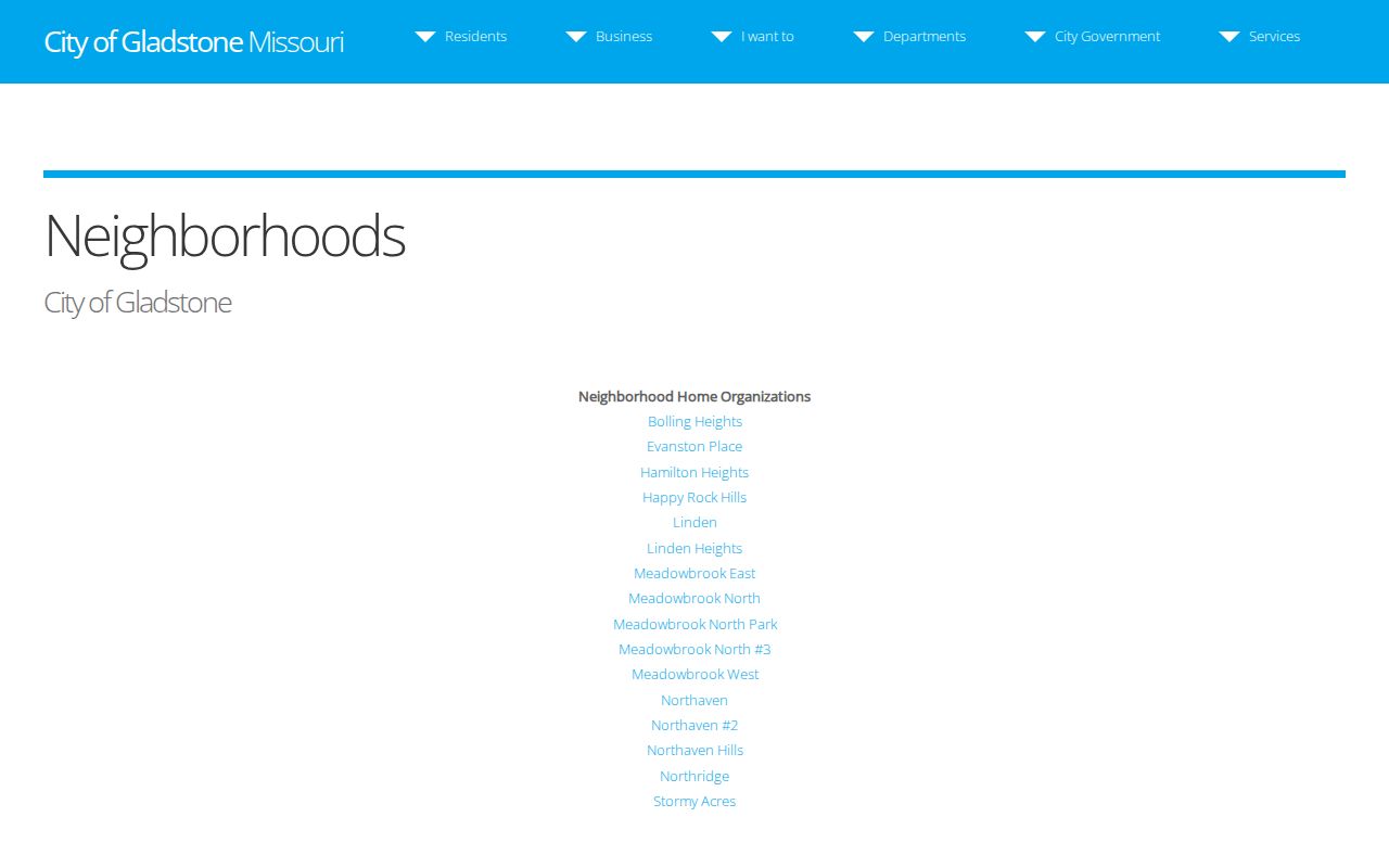
The city list helps connect a block to its recognized neighborhood name, but it does not show who belongs to the organization or who lives at each parcel.
A city neighborhood memo records Block Watch training involving Community Development, Police, Northland Neighborhoods Inc., and neighborhood groups. Public meeting records may identify speakers or civic activity; they should not be read as a private membership directory. The association page remains the suitable public route for confirming a local organization name before making a focused inquiry.
Gladstone Neighbor Association Layer
The city maintains a separate association list. It includes Brooktree; Carriage Commons, Crossing, and Hill; Claybrook; Claymont Estates, North, Pointe, and Woods; Heatherton Place; Maple Lane; Meadowbrook Manor and Townhomes; Meadowlane Townhomes; Northaven Gardens; Oak Lane Townhomes; Stonebrooke and Stonebrooke Estates; The Oaks; The Woodlands; The Trails; and Twin Lakes. An association name can make an archive or public-meeting request more precise, but its public presence does not make a membership list available.
Gladstone's association directory shows the city-maintained names and any external links that the city has chosen to publish.
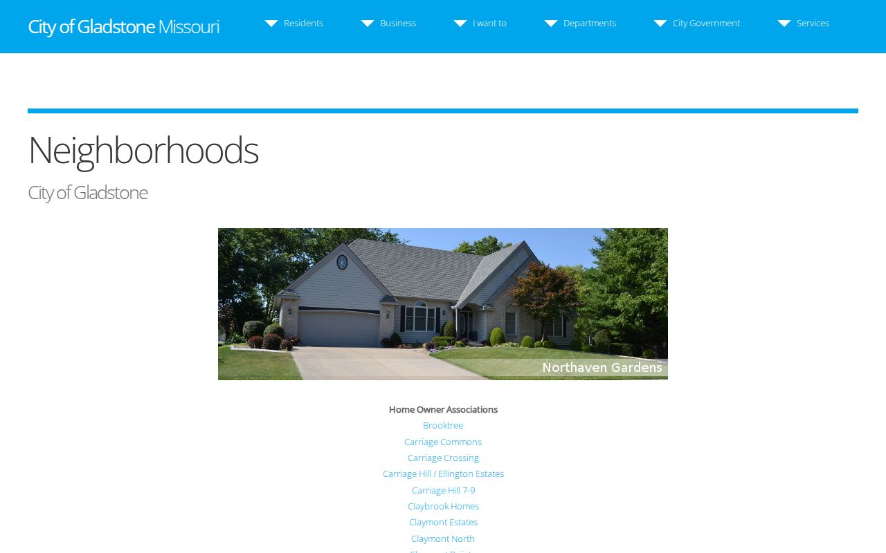
Use the association name to ask a focused question about a public meeting, archived newsletter, or neighborhood history, not to infer an address or current household membership.
Neighborhood Home Organizations
City page for official neighborhood labels and listed public links. It is the first check for a named Gladstone civic area.
Association Directory
City-maintained list of associations and HOAs. Coverage and membership should be confirmed with the organization.
City Clerk Archives
Published agendas, minutes, ordinances, resolutions, and public-record request routing for city material.
Gladstone Neighbor Sources Compared
Official records and commercial neighbor tools work very differently. The official chain identifies the creator, date, search key, and legal limit for each fact. Commercial tools often compile old addresses, marketing data, public extracts, and automated links. Their same-household or nearby-person associations can be stale, algorithmic, or wrong. A person should be able to return to the custodian and the original record, rather than relying on a merged profile.
| Official record path | Commercial neighbor category | What to rely on |
|---|---|---|
| GIS and Assessor use parcel identifiers and dated county data. | Compiled profiles can merge addresses and names from several sources. | Record the parcel ID and the date of the official result. |
| Recorder instruments name a document, parties, recording date, and legal description. | Property-history summaries can omit a transfer, party role, or legal change. | Read the official instrument or request it from the Recorder. |
| Election files have statutory field, delivery, and protected-address limits. | Neighbor lists may suggest household ties without a lawful or current source. | Request only lawful fields from the election authority. |
For an old block, a directory page or newspaper can add context, but it should be paired with a year and source image. MGC, Kansas City Public Library Missouri Valley Special Collections, Clay County Archives, SHSMO, and the historical society are the documented routes when the web layer ends.
Gladstone Neighbor Archive Trails
Older blocks are often found through the neighborhood name rather than the current street number. Search a distinctive label such as Happy Rock Hills, Northaven, Meadowbrook North #3, or Stormy Acres in a historical directory, newspaper, or map, then compare the result with the city neighborhood page and the GIS subdivision layer. That name pivot can recover a record where an old street spelling, rural route, or postal label does not match a modern address.
The Midwest Genealogy Center supplies city directories, telephone books, yearbooks, maps, and microforms. Clay County Archives can search original county material on site or by correspondence, while SHSMO's Clay County collections provide county manuscripts and local-history finding aids. Ask for one neighborhood, address, year, or surname. A tightly defined request is more likely to produce a useful public historical record.
Gladstone Neighbor Privacy Limits
Nearby parcels do not create a right to identify everyone around them. Renters, private household members, delivery customers, utility customers, protected voters, and Safe at Home participants are outside the ordinary public block layer. The Driver's Privacy Protection Act restricts personal DMV information. Court records may close or redact juvenile, adoption, sealed, expunged, victim, witness, protection-order, and sensitive personal information.
Missouri's Sunshine Law permits a custodian to release the public portion of a record while withholding closed material. When a city or county record is needed, make a narrow request with the address, record type, date range, and format. Gladstone City Hall, the Recorder terminal, the county offices, libraries, and archives are valid alternatives when a web portal does not answer the specific question. The City Clerk accepts a municipal request by mail or fax, while the County provides an online Sunshine request form; call the responsible office before sending sensitive details. A missing result is sometimes the lawful answer.