
Gladstone Previous Residents by Era
Use a source that matches the period you are testing. Clay County land records are the backbone for an ownership trail, but they are not an address-indexed occupancy list. Directories, census schedules, permits, maps, newspaper notices, and probate material each answer a narrower question. The table separates the source date from the date of a person’s connection to the address, which helps avoid treating a later tax record as proof of an earlier household.
| Source | Years it covers | Where held | What it can show |
|---|---|---|---|
| Clay County Recorder real-estate index | About 1967/68 to present online; books from 1822 | iCounty, Recorder terminal, older books | Recorded transfers, parties, legal descriptions, book and page references |
| Regional address and city directories | Kansas City runs include 1859-60 and later series; Gladstone examples 1965, 1973, 1982 | Midwest Genealogy Center and regional collections | Historical address, names, telephone and occupation details when printed |
| Liberty and Clay County rural directory | 1986 example | Midwest Genealogy Center catalog lead | Regional household lead outside a Gladstone-only title |
| Federal census | Released schedules through 1950 | National Archives and library genealogy resources | Date-specific household, age, birthplace and occupation data |
| Gladstone permits and code files | Dates depend on the requested file | Community Development or City Clerk request | Publicly releasable activity, applications, inspections or notices |
For a recent transfer, begin with the parcel and deed trail. For a household question in the middle decades of the twentieth century, an address directory paired with the closest released census is usually more useful. Before the online record edge, plan for a visit or a focused request. Clay County’s books, archives, and library collections fill gaps that a web search cannot.
Gladstone Previous Residents Start With a Parcel
The current address is the starting point, not the last word. Search the Clay County parcel system by address and keep the Prop ID, Parcel ID, situs, owner name, owner mailing address, legal description, and any sale book or page reference. The situs identifies where the parcel is. The mailing address identifies where the assessor sent correspondence. Neither field lists every person who lived there.
When an older document gives a subdivision, lot, block, or section description instead of a familiar street number, compare it with the Clay County GIS viewer and Gladstone’s official street and subdivision maps. The map is a reference tool, not title evidence. Its practical value is preserving the parcel identifier and geographic relationship before you move into the recorder index.
Note: Keep the exact spelling and directional form from each dated record, because rural routes, postal labels, and subdivision names can outlast or replace a modern address.
Gladstone Previous Residents and Deed Chains
Clay County’s Recorder is the source for the instrument behind a transfer. Its index is alphabetical by party name, not by street, so the parcel record provides the bridge. Search the present owner as a grantee, inspect the likely acquisition deed, then use its grantor as the next prior grantee. Repeat the party-to-party movement while testing the legal description on every link. This establishes a chain of title, not an automatic chain of occupants.
The Clay County iCounty portal requires registration for search and image access, and printing is charged. The Recorder also maintains a public terminal. The login screen below is a useful reminder to prepare names and legal details before entering the index, rather than expecting a street-address search.
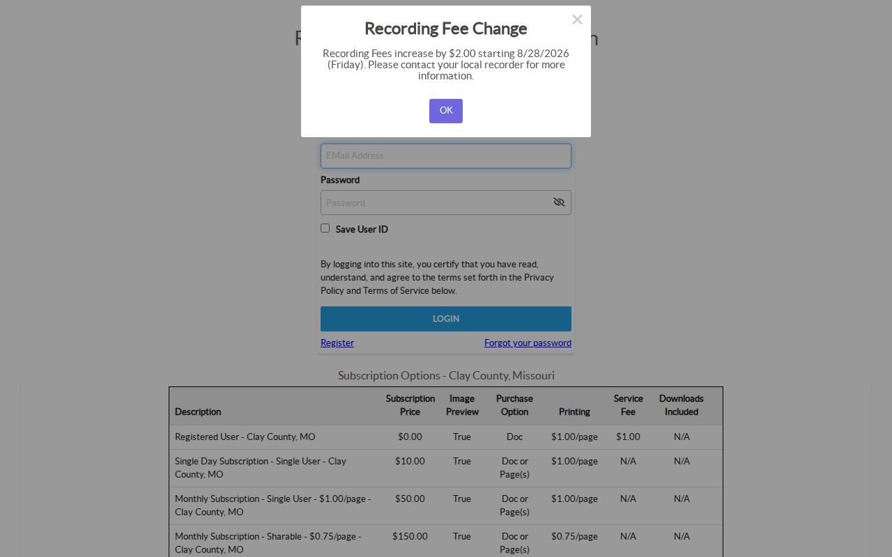
For a research question that crosses the online boundary, the same names and legal description carry the search to the Recorder’s older books, Clay County Archives, or available microfilm. A trust, estate, entity, married name, middle initial, or spelling variation can break an apparent chain, so record both parties and every document reference.
- Find the parcel by its present Gladstone address and copy the owner, parcel identifiers, legal description, and sale reference.
- Search that owner as grantee in the Recorder index and inspect the deed that matches the parcel’s legal description.
- Record the grantor, recording date, document reference, and wording that identifies the property.
- Search that grantor as a prior grantee, then repeat the comparison for each earlier transfer.
- When the online search ends, ask the Recorder, Archives, or a library repository to help locate the older book or microfilm layer.
- Grantor and grantee
- The grantor transfers an interest. The grantee receives it. Both names are search bridges in a backward title trace.
- Chain of title
- The sequence of recorded instruments that connects one ownership interest to an earlier one.
- Legal description
- The lot, block, subdivision, or survey description used in deeds. It is more stable than a street number when older records use a different address form.
Gladstone Previous Residents Before Online Records
Clay County’s record formats explain why a backward search changes pace. The Recorder identifies hand-recorded books from 1822 through 1986, an automated database beginning in 1986, and daily digital imaging beginning in August 1999. Online land access reaches roughly 1967/68 to the present, so a mid-century deed can require a different access route than a recent one. Verify the exact instrument period with the Recorder because the county describes the online transition as 1967/68.
Do not fill an older gap by guessing that a missing web image means there was no transfer. Use the Recorder terminal, Clay County Archives, or a repository request. The county seat is Liberty, and its record layer predates Gladstone’s 1952 incorporation. That history is why a former Gladstone address may lead to a county book, plat, township reference, or regional directory instead of a city-named file.
Note: The Recorder does not perform a title search or determine whether liens remain outstanding, so seek professional advice when the question requires a legal title opinion.
Gladstone Previous Residents in Directory Years
Deeds track an ownership interest. To ask who lived here before, use historical address sections, also called reverse or criss-cross directories, with a dated census. Gladstone often appears inside Kansas City or Clay County publications rather than in a standalone annual book. Midwest Genealogy Center holds Kansas City directory and telephone materials, and catalog examples specifically include Gladstone and North Kansas City for 1965, 1973, and 1982. A 1986 Liberty directory is another regional lead.
The historical shelf is detailed on the Gladstone city directories page, but the house-history method is simple: preserve the printed address, note each name and page, then test the finding in a second dated source. A directory survey can lag a move. A census is only a snapshot on its enumeration date. Agreement is stronger than either record by itself.
- Locate the address section or criss-cross volume for the closest available directory year and transcribe its printed form exactly.
- Check the alphabetical section for surname variants, spouse notation, occupation, telephone detail, or an owner and renter mark if the volume provides one.
- Pair the directory with the nearest released federal census, currently through 1950, and compare household composition and location details.
- Use an obituary, newspaper notice, or probate file as a dated lead to a death, executor, relative, or later address, never as proof that all named people lived at the parcel.
Lawful personal research. Gladstone house-history work can support family history, an estate question, or curiosity about a property. Do not use a past-resident lead to follow, threaten, stalk, or harass a living person.
Gladstone Previous Residents and Old Addresses
A literal present-day address can fail in a historical search. Gladstone’s northland grid includes N Holmes, N Oak Trafficway, N Antioch Road, N Broadway, N Jackson, N Chestnut, and numbered NE streets, but earlier records may use a rural route, subdivision, township, or Kansas City postal form. No official year-specific Gladstone renumbering or annexation table was located. Treat that as a research gap, not as proof that the address never changed.
Use the official street map, a plat, and the deed’s legal description together. A lot and block can connect a modern parcel to a record that lacks its current number. The County GIS data-request route can also supply layers such as centerlines, subdivisions, city boundaries, and section or township information when a more precise geographic bridge is needed.
Gladstone House-History Research Requests
When the online trail stops, ask a bounded question. Midwest Genealogy Center, Kansas City Public Library’s Missouri Valley Special Collections, Clay County Archives, the Clay County Historical Society, and SHSMO can help locate directories, plats, tax material, newspapers, photographs, and vertical files. Ask for a name, address, neighborhood, or year range, not every record on a person. Repository staff may need an appointment or may quote a research or copy fee.
The Clay County Genealogical Society offers a useful local model: it connected a 1904 directory, a 1903 plat book, an 1890 plat, and the 1910 census. That layered approach is more reliable than treating any single result as a complete past-resident answer. No standalone Gladstone Sanborn fire-insurance map run was located, so check the Library of Congress collection and local map holdings instead of assuming one exists.
The Missouri Treasurer’s free Unclaimed Property search can be a separate name-based estate follow-up when a historical trail identifies a decedent or claimant. It requires a CAPTCHA before its search fields appear, and a result does not establish a person’s residence or right to a claim.
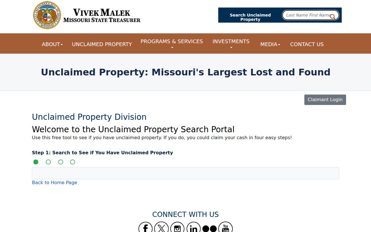
Use the official state route rather than a fee solicitation. The Treasurer says its search and return process is free, while a claim requires the proof the state requests.
What Gladstone Previous Residents Records Mean
Each record has a limited claim. An assessor entry connects an owner to an assessed parcel. A deed connects parties to a recorded transfer. A directory or census connects a named household to a published or enumerated date. A permit can date activity at a property, but its applicant may be an owner, contractor, architect, or agent. Compare at least two independent records before describing a former connection to the address.
For unposted city material, request a specific address and date range through the Gladstone City Clerk under Missouri’s Sunshine Law. The City says it acts by the end of the third business day, subject to lawful delay and segregation of closed portions. Private household members, utility customers, protected addresses, and restricted records remain outside this historical trail.
When a portal cannot answer a narrow question, use the documented fallback. The Assessor residential division is 816-407-3510, County GIS is 816-407-3370, the Recorder is 816-407-3550, and Gladstone Community Development is 816-423-4111. Ask the right office for the address, legal description, date range, or document reference. City and county Sunshine forms support defined requests, while Midwest Genealogy Center, Clay County Archives, Kansas City Public Library, SHSMO, and the Historical Society provide the historical in-person and correspondence layer.