
Walk a Gladstone Street by Address
A useful Gladstone street directory search begins with one known address, not a broad list of names. Clay County’s parcel search supplies the property’s situs, parcel identifier, owner field, and legal description. The GIS viewer then places that parcel among nearby lots, roads, subdivisions, and districts. The Recorder follows only after the property record supplies a current owner or instrument lead, because the Recorder does not search deeds by street address.
That order keeps the records in their proper roles. An assessed owner may receive mail elsewhere. A deed party may be a former owner or another party to the transfer. A historical address directory can place a household at an address for a year, but it does not describe a present household. Start from the record key the office actually uses.
- Enter the full address in the Clay County Assessor parcel search and record the situs, Parcel ID, Prop ID, map description, and legal description.
- Open the same location in the Clay GIS viewer, check the parcel outline and adjacent parcels, and keep the map disclaimer in mind.
- Use the owner or legal-description lead in the Recorder’s grantor and grantee index, not the street name.
- Use the Collector’s address or parcel search if a tax-account question needs a separate county record.
- For a past household, request the relevant Kansas City, Gladstone, Clay County, or telephone directory at Midwest Genealogy Center.
Gladstone Street Directory Search Fields
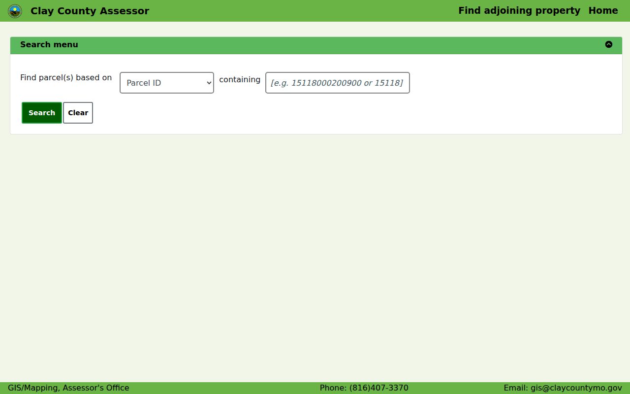
The Clay County Assessor parcel search is designed around property identifiers and address geography. It has modes for Address, Parcel ID, Prop ID, Subdivision, and Tax Area. Its public results table reports Prop ID, Parcel ID, Owner, Situs, and Map Description. The Assessor has no dedicated owner-name selector in the inspected interface, so a surname-only task belongs first with the Recorder’s name index or another appropriate official record.
| Search mode | Best use on a Gladstone street | Return or limit |
|---|---|---|
| Address | Navigate from a known house number and street | Geocoder path to parcel result |
| Parcel ID / Prop ID | Return to a saved county property key | Specific parcel detail |
| Subdivision | Bridge a legal description or neighborhood name | Mapped property grouping |
| Tax Area | Check county taxing context | Property result set |
The public Clay Assessor search shows the address-first fields behind a Gladstone street directory search.
Gladstone Street Records by Custodian
Several offices hold address-keyed evidence, but their records are not interchangeable. The Assessor and GIS show the current parcel context. The Collector adds a tax-account route. City permits and code material can be date-specific address evidence, yet the official city material reviewed does not confirm a general public person-name or address results screen. Recorder instruments and historical directories provide the forward and backward context after the parcel has been identified.
| Address record | What it can show | Gladstone access route |
|---|---|---|
| Assessor parcel card | Situs, owner/co-owner, mailing address, legal description, values, sale references | Public parcel portal |
| GIS map | Parcel geometry, roads, subdivisions, districts, building context | Public map viewer or GIS data request |
| Collector record | Tax account through parcel, name/business, or property address modes | Public Collector search |
| Recorder instrument | Grantor, grantee, recording details, legal description, image route | iCounty account or Recorder terminal |
| City permit or code file | Address-linked application or case context where public | City landing page, Clerk, or Sunshine request |
| Historical directory | Dated occupant or telephone listing when a volume covers the address | MGC, Archives, or regional collections |
Note: A current parcel owner, tax account, permit applicant, or historical directory entry answers a different question and does not prove every resident at an address.
Gladstone GIS Makes the Block Visible
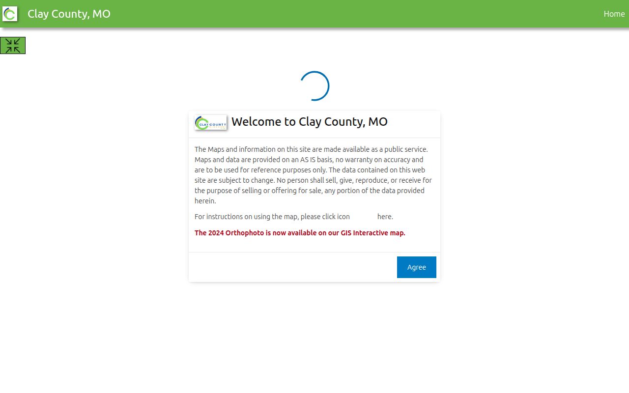
The Clay County GIS viewer is the street-by-street map companion. It offers search, measure, layers and legend, an advanced parcel search, parcel or subdivision selection by polygon, coordinate display, and adjacent-parcel browsing. Advanced results can include Prop ID, Parcel ID, Current Owner, Situs, and Map Description. The viewer’s data are supplied as is and are not the official title record.
Use the map to locate a parcel, spell a street as the county shows it, and see the lots immediately around it. Then return to the parcel record for details. A polygon selection or map label is a research aid, not a reason to make a whole-street occupant list.
The official Clay GIS viewer supplies the parcel and layer controls used in a Gladstone street directory map check.
Gladstone Tax Search Uses Addresses
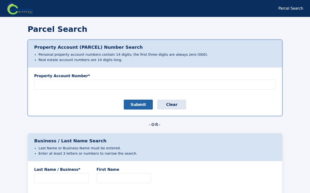
The Clay County Collector provides a separate tax search with three routes: property account or parcel number, business or last name with an optional first name, and property address with optional city, state, and ZIP. The address mode requires at least four characters or numbers, while the business or last-name mode requires at least three characters. Its payment choices include online, mail, in-person, and drop-box channels.
Use this source to verify the property-account question it actually covers. Do not turn a tax result into a household claim. The Assessor’s current property card and the Collector’s tax system may use related identifiers while serving different county functions.
The Clay County Collector search shows the parcel, surname, and property-address routes available for a Gladstone street directory record check.
Gladstone Address Files at City Hall
Gladstone’s city records can add a date and local context to an address search. The e-Services material links city documents, code-compliance information, permits, licenses, accident reports, municipal-court payment, and contact forms. Permit categories include building, demolition or relocation, electrical, grading, fire, mechanical, plumbing, sign, solar, sump-pump, utility, block-party, dumpster, and other applications. A public file may identify an applicant, owner, architect, or contractor connected to the work, but it is not a resident roster.
The research did not capture a stable city person-name or address-result screen for code compliance, so do not assume that a portal will return a record. Begin with the published city department route, then contact Community Development or submit the City Clerk’s Sunshine form for a specific address, record type, and date range. Payments for permits are not made online according to the permit page. The Clerk can identify whether a record is posted, retained, or partly closed.
Municipal Court records follow another access path. The court handles traffic, ordinance, animal-control, and code-enforcement matters, but its reviewed online material is mainly instructions and payment information. For a known public case, request a citation or case number, party name, date range, docket, and publicly releasable disposition from the court rather than expecting a street-directory search.
Gladstone Streets Have Three Labels
A Gladstone street can carry a map label, a county situs address, a legal description, and a postal city label. Those labels often agree, but they do not serve the same purpose. The official street grid centers on N Holmes, N Oak Trafficway, N Antioch Road, N Broadway, N Jackson, N Chestnut, and numbered NE streets. Older material may instead name a subdivision, lot, block, or rural-edge description.
- Parcel
- The county’s mapped piece of property, identified by county numbers.
- Situs address
- The physical property address shown by the Assessor.
- Plat
- A recorded map dividing land into lots, blocks, or subdivisions.
- Criss-cross directory
- An address-arranged historical directory that can place a household at a street number.
Preserve the printed street form and postal city when copying an old record. Search the legal description or subdivision if the modern number does not produce a good match. No official Gladstone readdressing or annexation-year table was located, so a missing result should not be blamed on a particular renumbering date.
Gladstone Street Grid Is a Search Aid
Gladstone’s local grid connects records that use different labels. N Holmes, N Oak Trafficway, N Antioch Road, N Broadway, N Jackson, N Chestnut, and the numbered NE streets give an address researcher landmarks for comparing the city street map with Clay GIS. Neighborhood and subdivision names can be useful secondary keys when an old directory or plat does not use the modern street number.
This geographic context is most useful for locating the right parcel, not for identifying everyone nearby. Use the map to check road spelling, blocks, and parcel relation, then follow each record system’s own access rules.
Gladstone Deed Chain Begins at the Parcel
Clay County has hand-recorded books from 1822, an automated database beginning in 1986, and daily digital imaging from August 1999. Its online policy describes real-estate images from January 1, 1967 forward, while the broader Recorder guidance describes online access from 1968 forward. Treat 1967 and 1968 as an edge to confirm for the actual instrument. The index is alphabetical by name, not geographic.
That local limitation explains the efficient address workflow: parcel search, legal description, owner or sale reference, then grantor and grantee search. A registered iCounty account provides the online route and the Recorder’s public terminal is the in-person fallback. Older books, Archives, and manual research handle the gaps. For backward house history, use the Gladstone past residents trail rather than trying to turn a modern parcel card into a full ownership history.
Gladstone Directories Read Addresses Backward
Historical address books can do what the Recorder cannot: arrange entries by street and number when a reverse or criss-cross section exists. Midwest Genealogy Center holds Kansas City directories, telephone books, maps, microforms, and local histories. Its materials include regional volumes that identify Gladstone and North Kansas City in 1965, 1973, and 1982, plus a 1986 Liberty directory with Clay County rural residents.
A directory entry can include a name, address, occupation, spouse notation, employer, telephone number, or owner/renter mark, depending on the year. Copy the year and page before comparing it to a parcel or census record. The collection details belong in the Gladstone city directories; this street directory uses it only as the historical address bridge.
Gladstone Street Directory Limits
No Gladstone street directory can reveal all occupants of every house. Private household members, renters, utility customers, delivery data, and protected participants are not a public street roll. The federal Driver’s Privacy Protection Act limits personal motor-vehicle data. Missouri Safe at Home and protected voter, court, juvenile, adoption, victim, and sealed records create further limits that a parcel map cannot override.
Lawful use. Gladstone address records support personal research, family history, and civic questions. Using them to stalk, harass, intimidate, or harm another person is prohibited under Missouri law.
When a street question remains unresolved, ask the specific custodian for the public record type and date range. A targeted City Clerk or County Sunshine request can produce segregable public material, but it cannot open information that the law protects.